Sunk Island

Who wouldn’t be intrigued by a place called Sunk Island? I spotted this place while poring over a map of the Holderness in East Yorkshire during the research for my book, Wild Guide North East England. Although no longer an island - the channel separating it from the mainland silted up by the mid 18th century - this remote piece of Crown Estate land still feels adrift from the rest of the world.
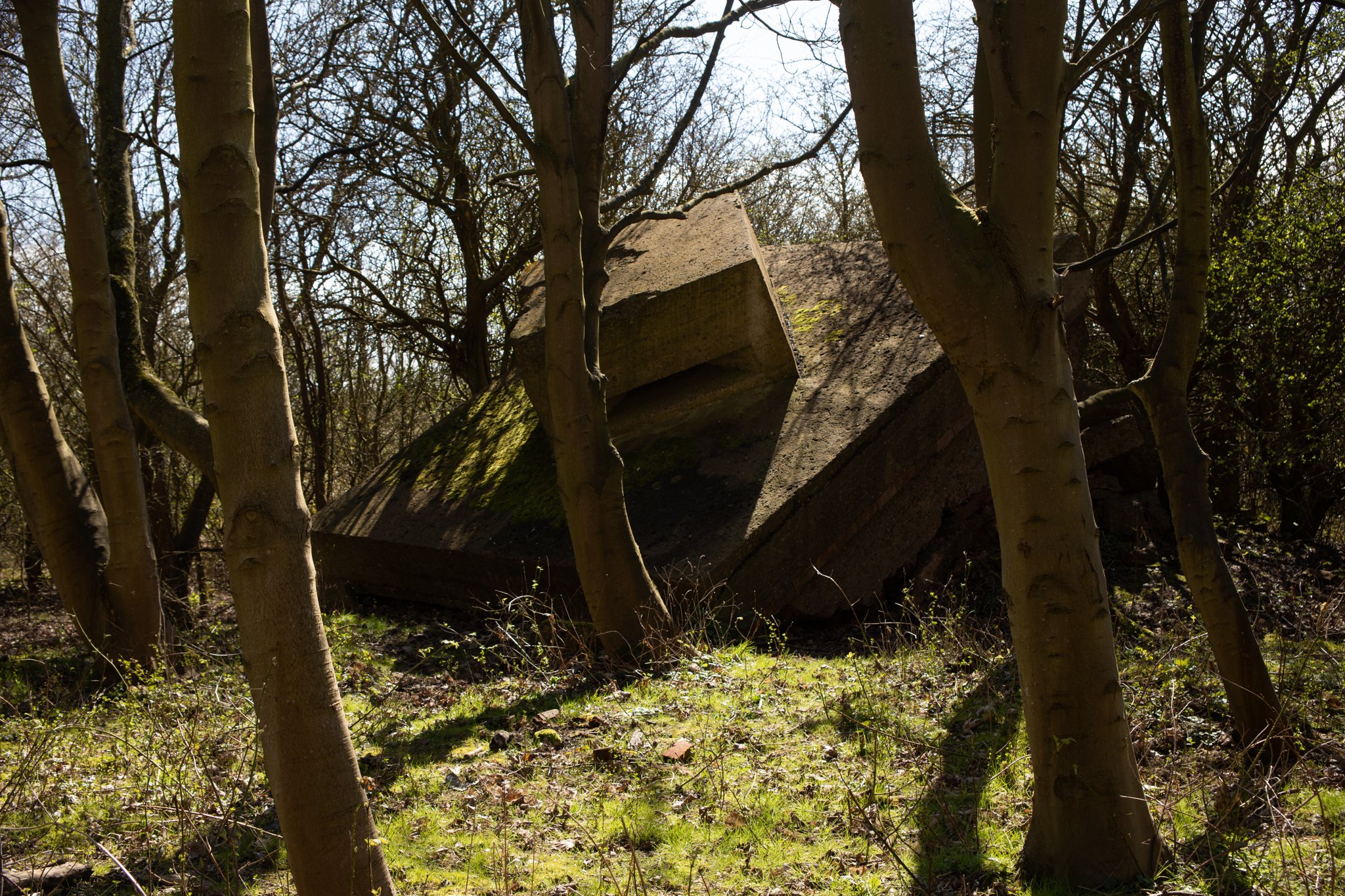
We recently took a trip to the Holderness for a family walk along the Humber Estuary to Sunk Island Battery, forlorn remains of a WW1 gun emplacement that lie hidden in a small woodland on the banks of the estuary.
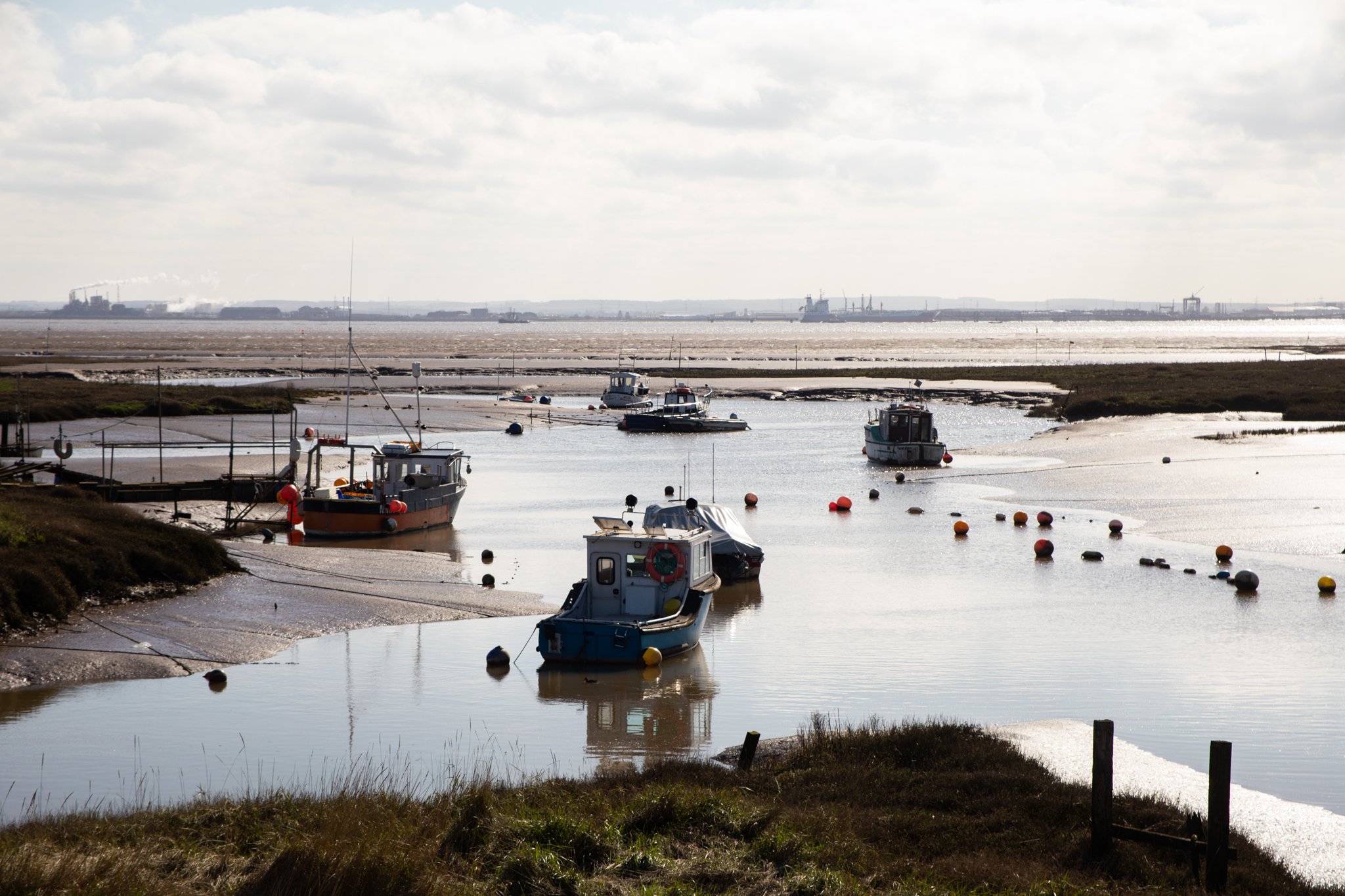
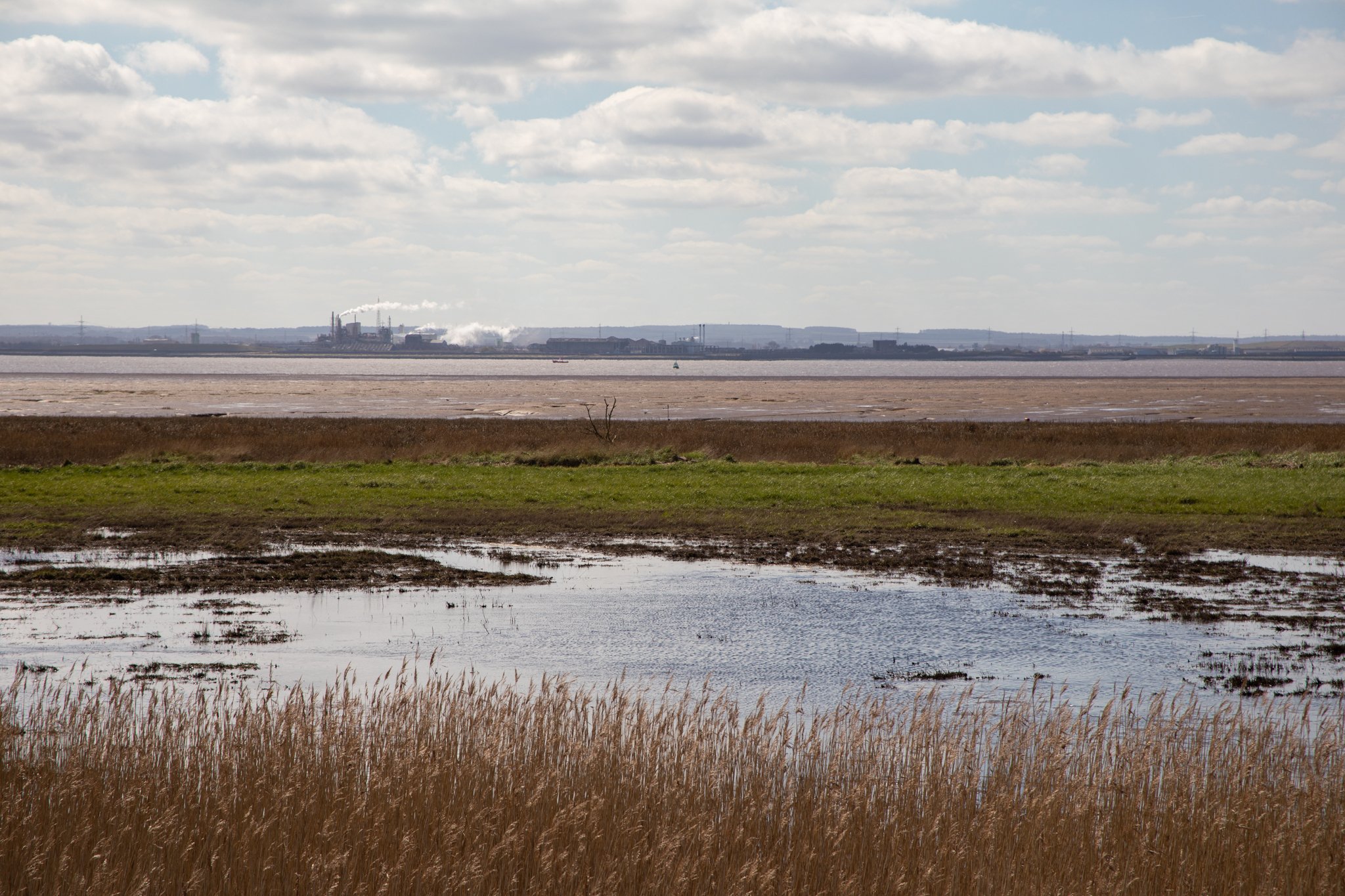
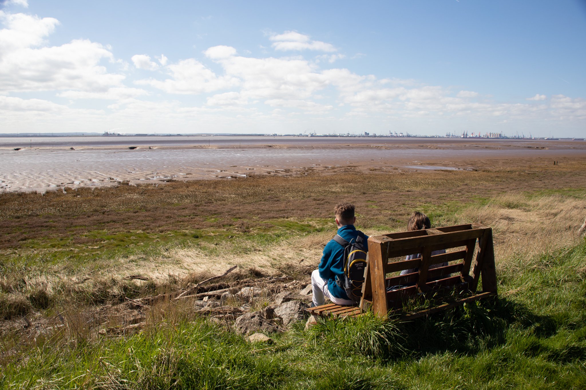
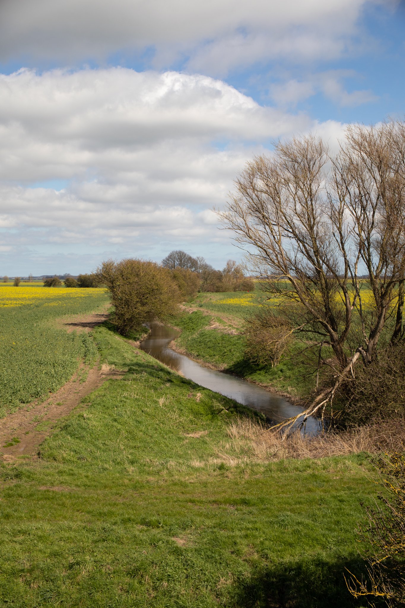
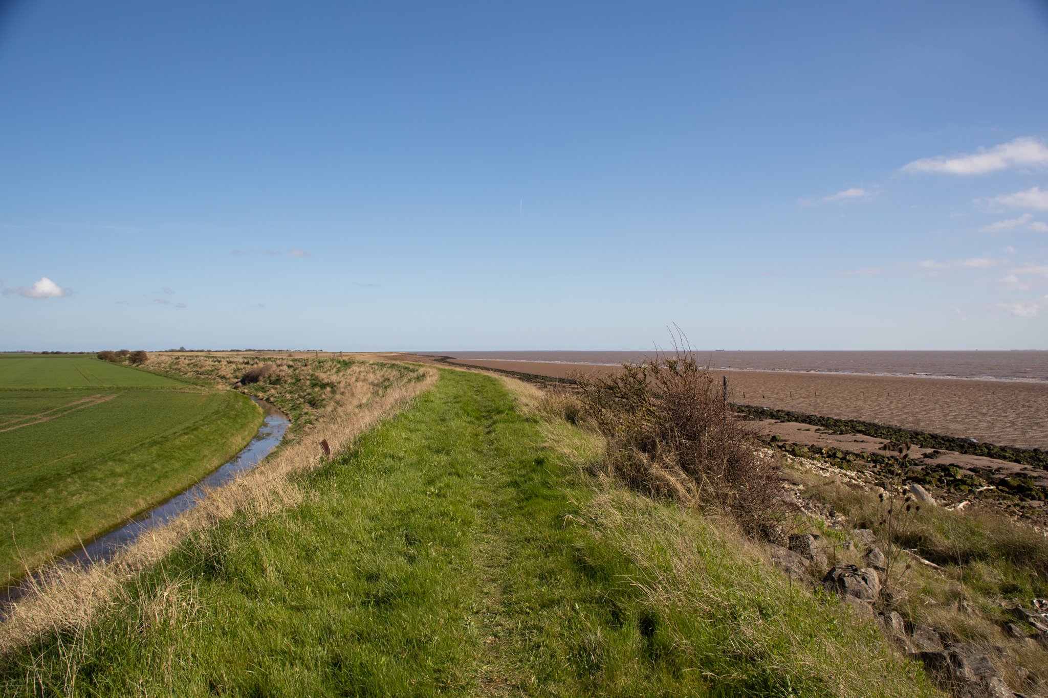
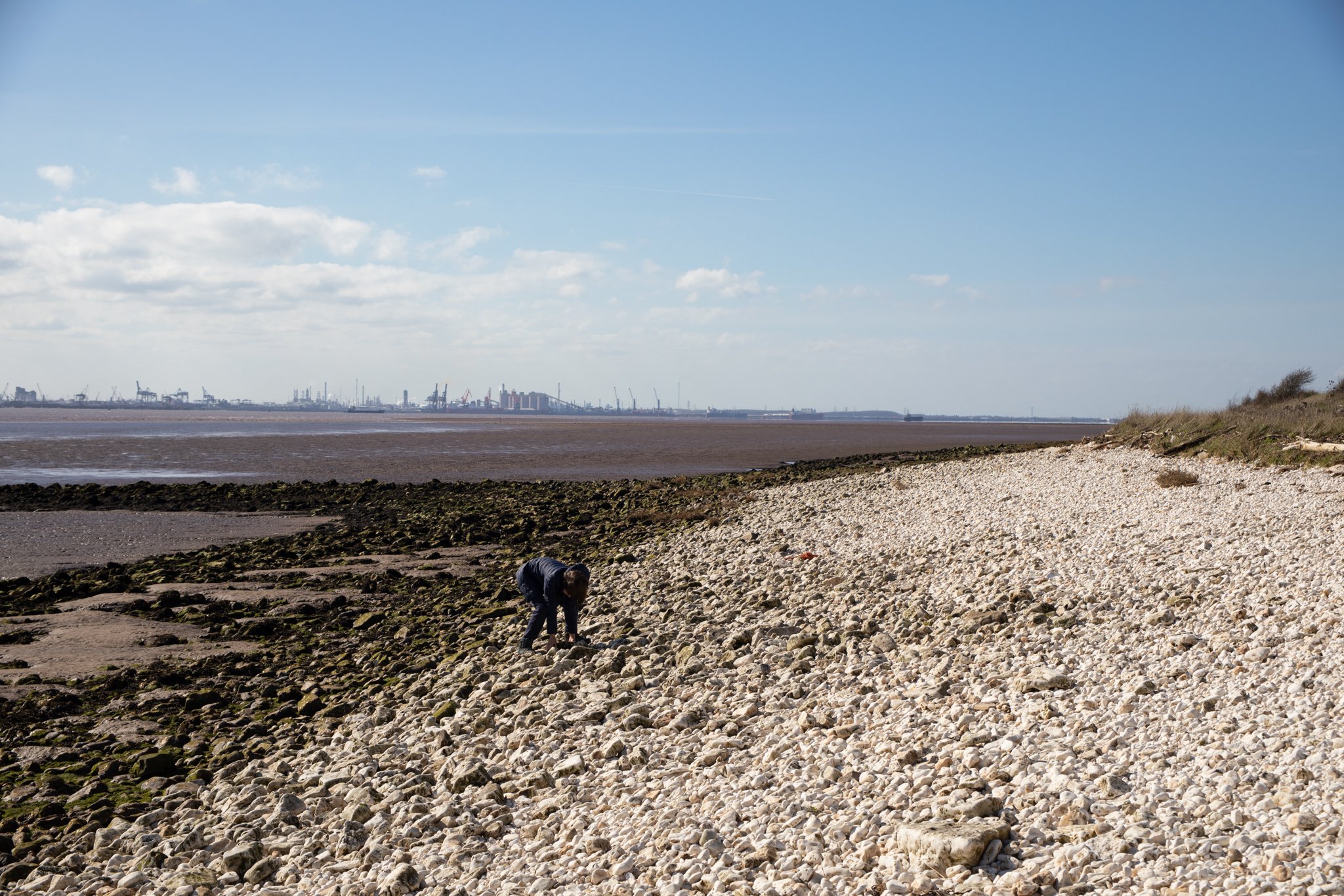
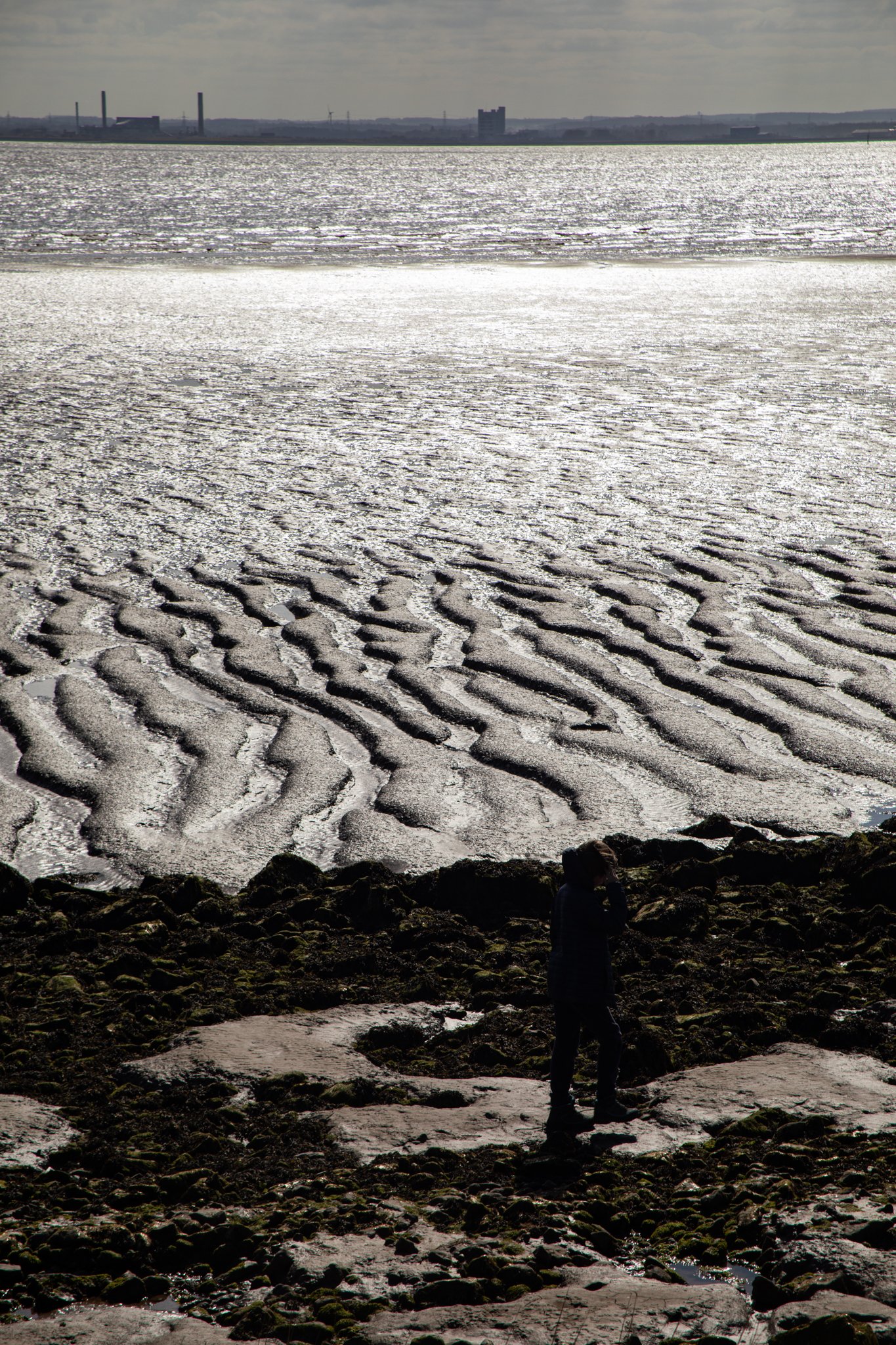
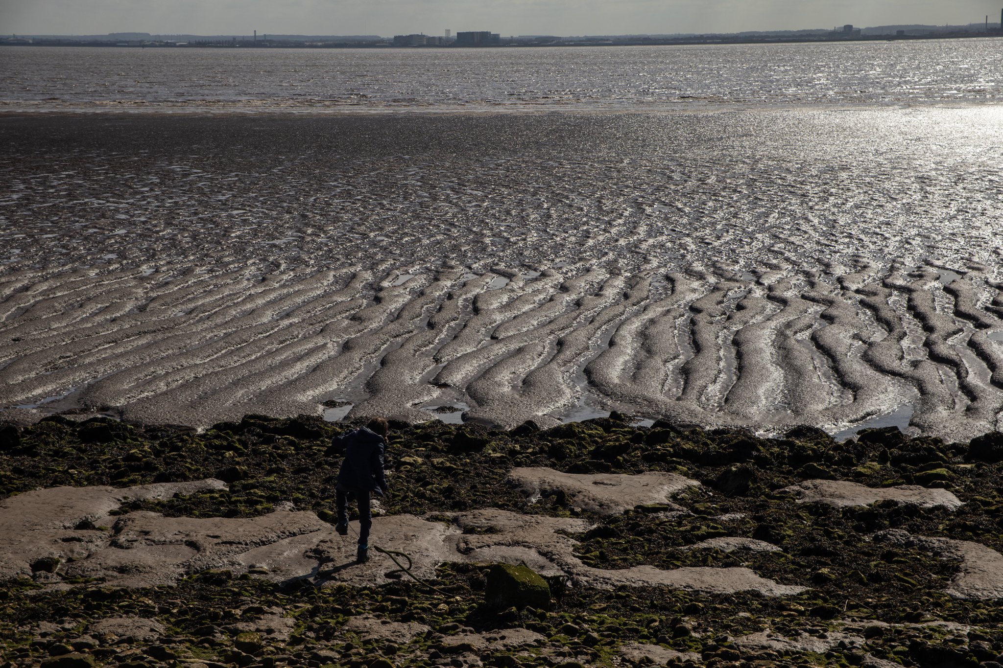
The walk starts from the evocatively-named Stone Creek, where a handful of small boats are rooted in the mud until an incoming tide lends them some buoyancy. Across the estuary, the industrial silhouette of Immingham looms, clouds of smoke curling out of tall chimneys and the odd cargo ship passing by. To the left, the pancake-flat plain of the Holderness with its arable pastures, manmade ditches sprawls beneath an endless sky.
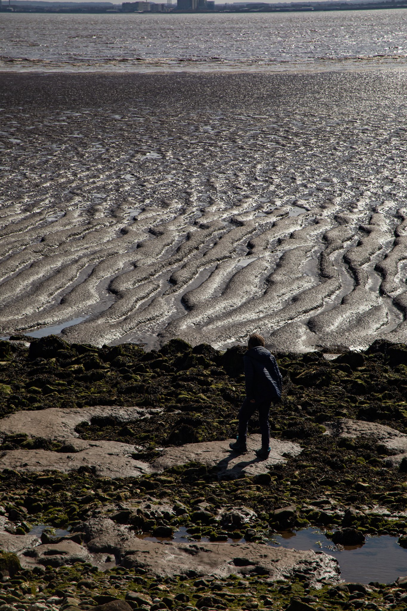
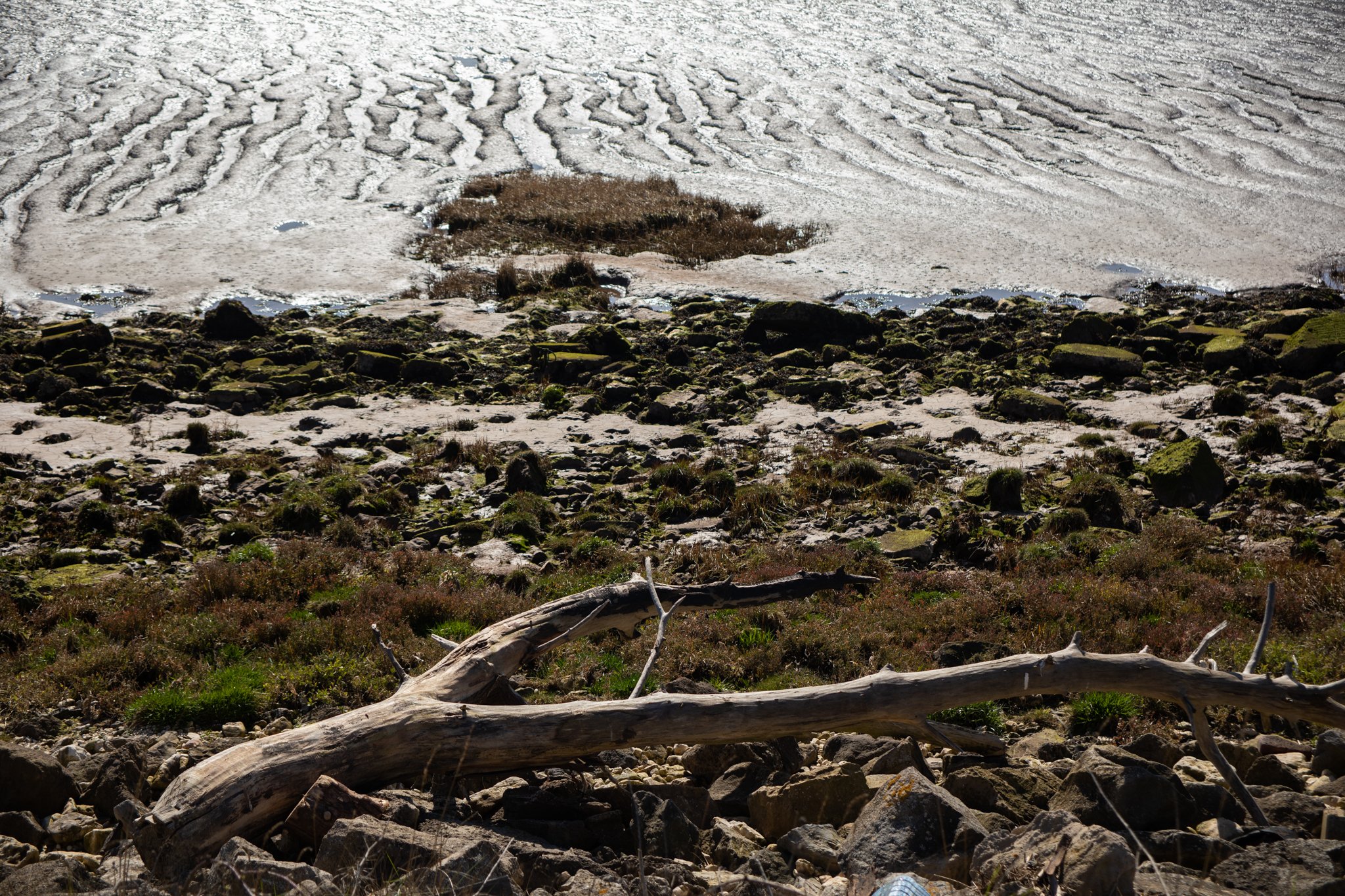
The reed-fringed estuary is dotted with isolated pools of water and expansive mud flats. After a short distance, we come across a makeshift bench, fashioned from old palettes and overlooking the estuary. If you’ve bought a flask or mini camping stove, which we had, this is a good spot to enjoy a cup of tea while keeping a eye out for wildfowl and wading birds - oystercatchers, redshank, golden plover are frequent sightings and seals flop on the exposed mud flats.
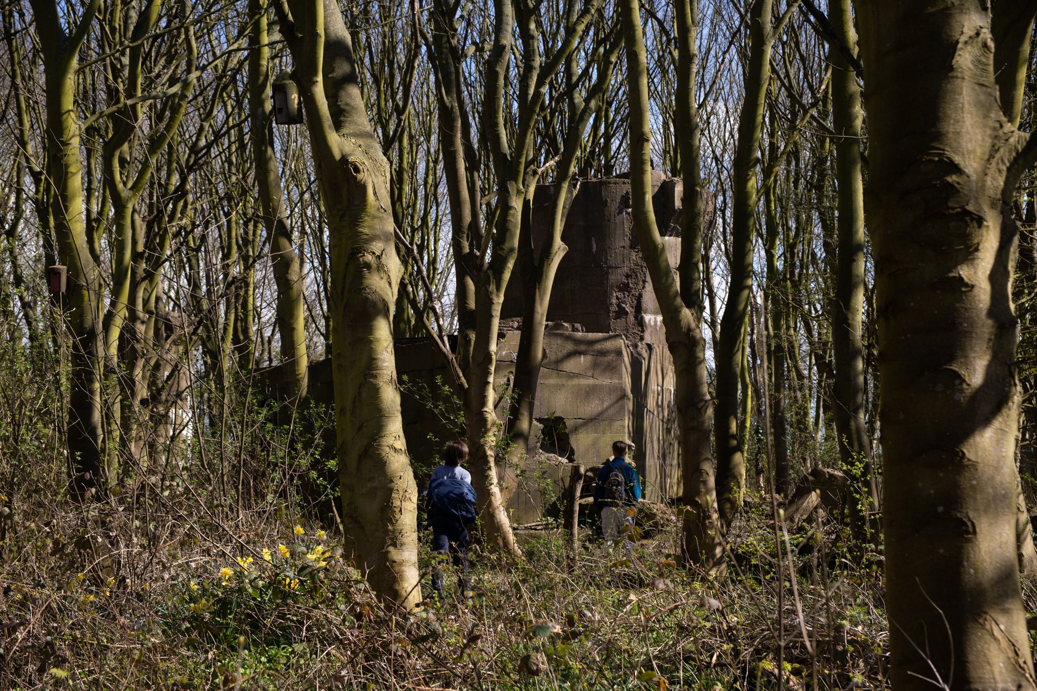
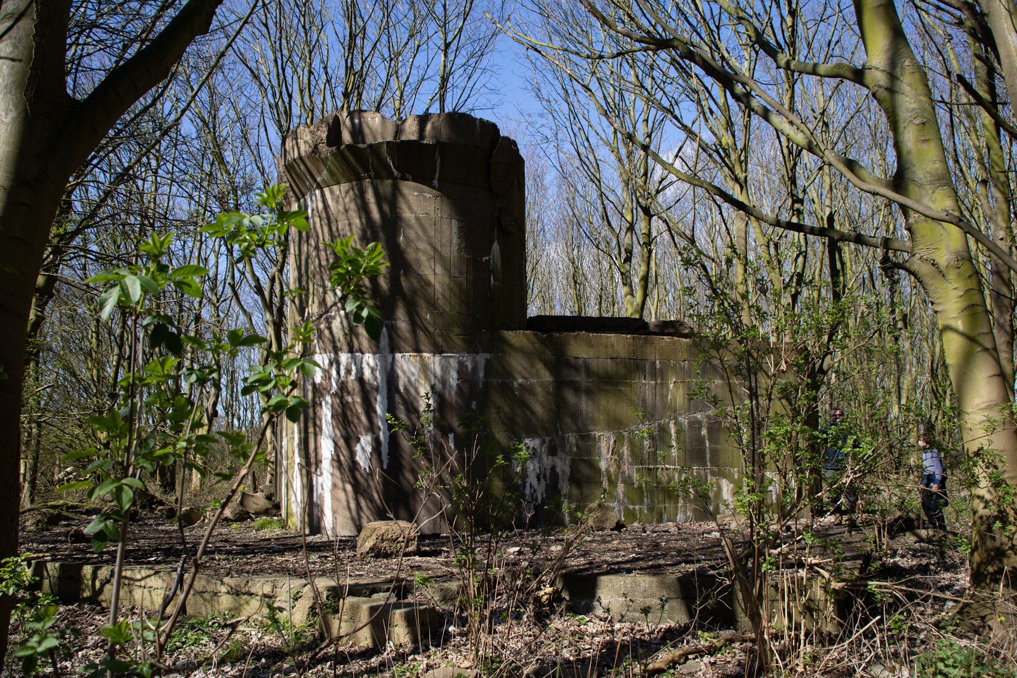
The adjacent woodland obscures the giant concrete remains of the gun emplacements of Sunk Island Battery, which emerge otherworldly from the forest floor. The battery was built in 1915 to defend the River Humber, with orders to fire on any ship which moved up the river without a message from Spurn Signal Station. Today it is an eerie sight, so much so that I suggest to one of my sons that it would make a great location for a horror movie as part of his film studies coursework. At this point, we all start thinking up different scary scenarios and I am quite glad that we are visiting on a sunny spring day.
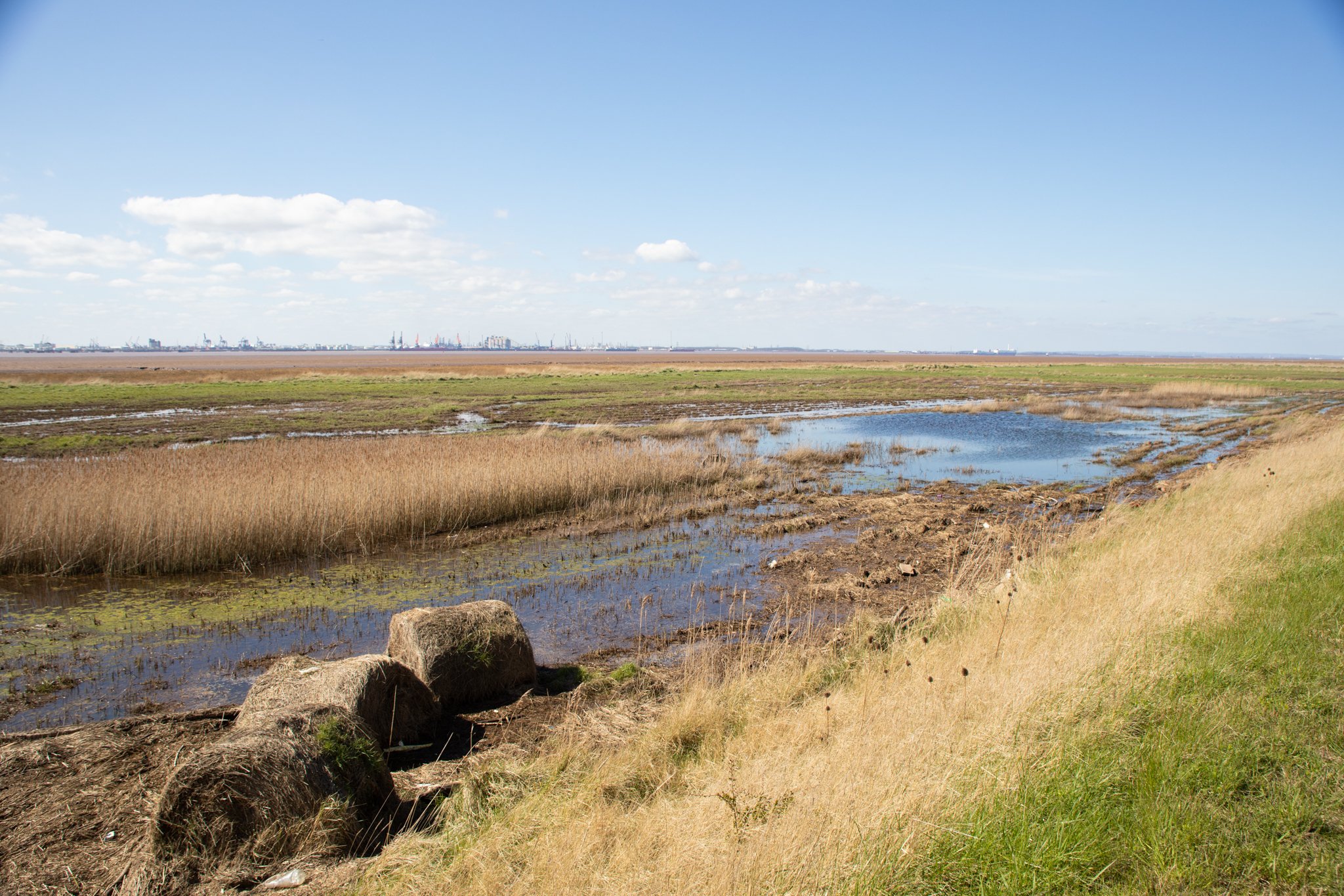
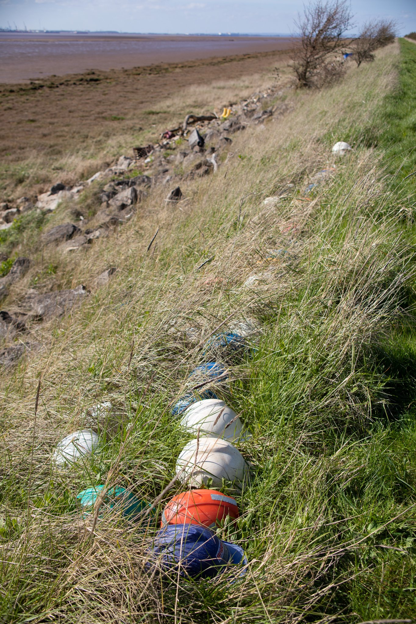
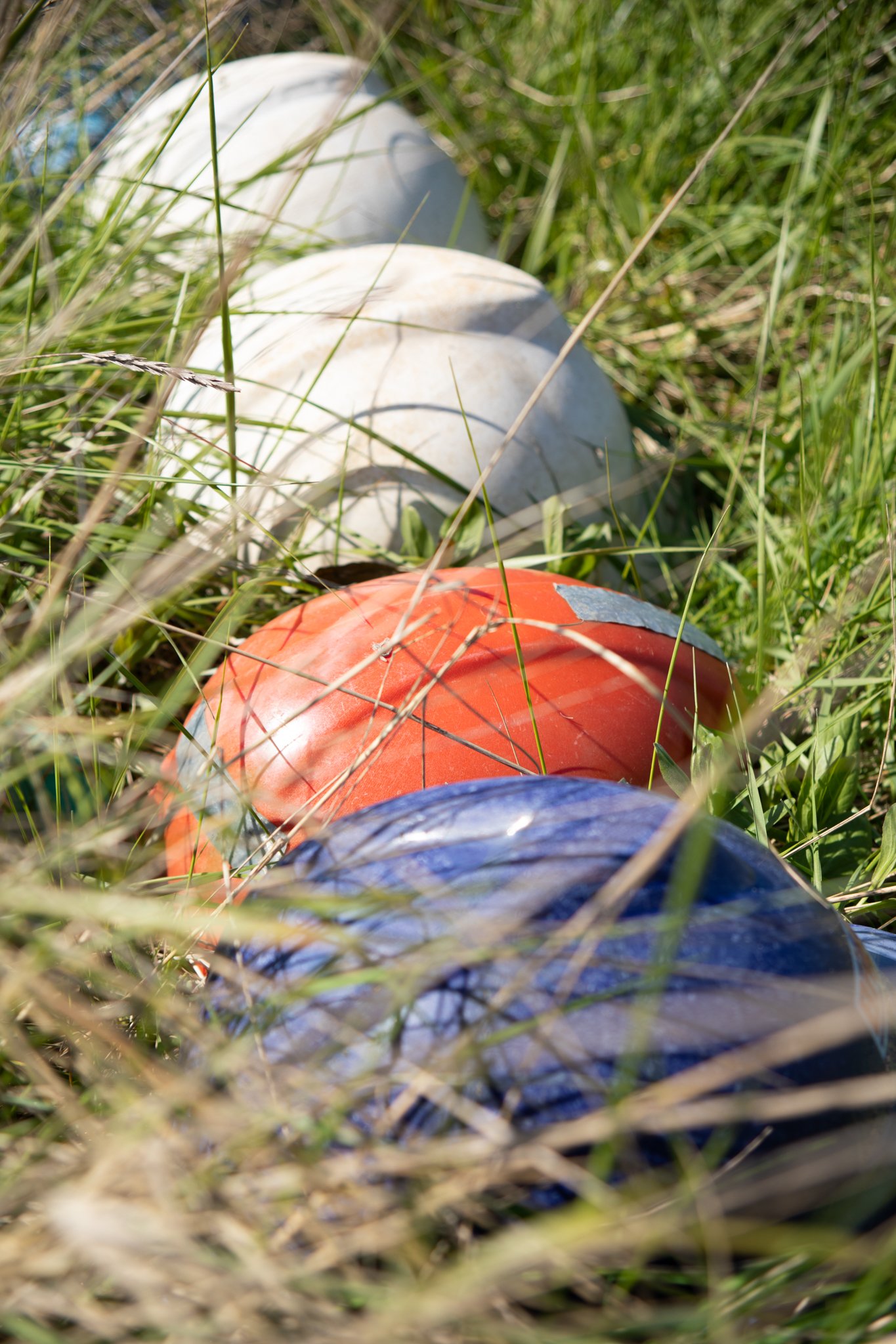
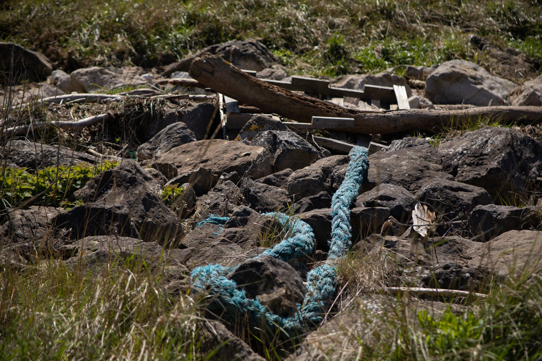
After exploring the ruins, we have lunch on the bench then press on along the path. Saltmarshes and sand dunes flank the estuary as it opens out towards the North Sea coastline. All manner of debris and driftwood has been washed up on the shore and somebody has created a neat line with plastic safety helmets. Chalk pebbles and stones form a shoreline beach and the tidal waters have created patterned channels in the sticky mud flats beyond. In the distance we spot grey seals basking in the sunshine. Looking straight ahead to the mouth of the estuary is the distinct black and white Spurn Point lighthouse that sits at the tip of the thin spit of land jutting out into the sea.
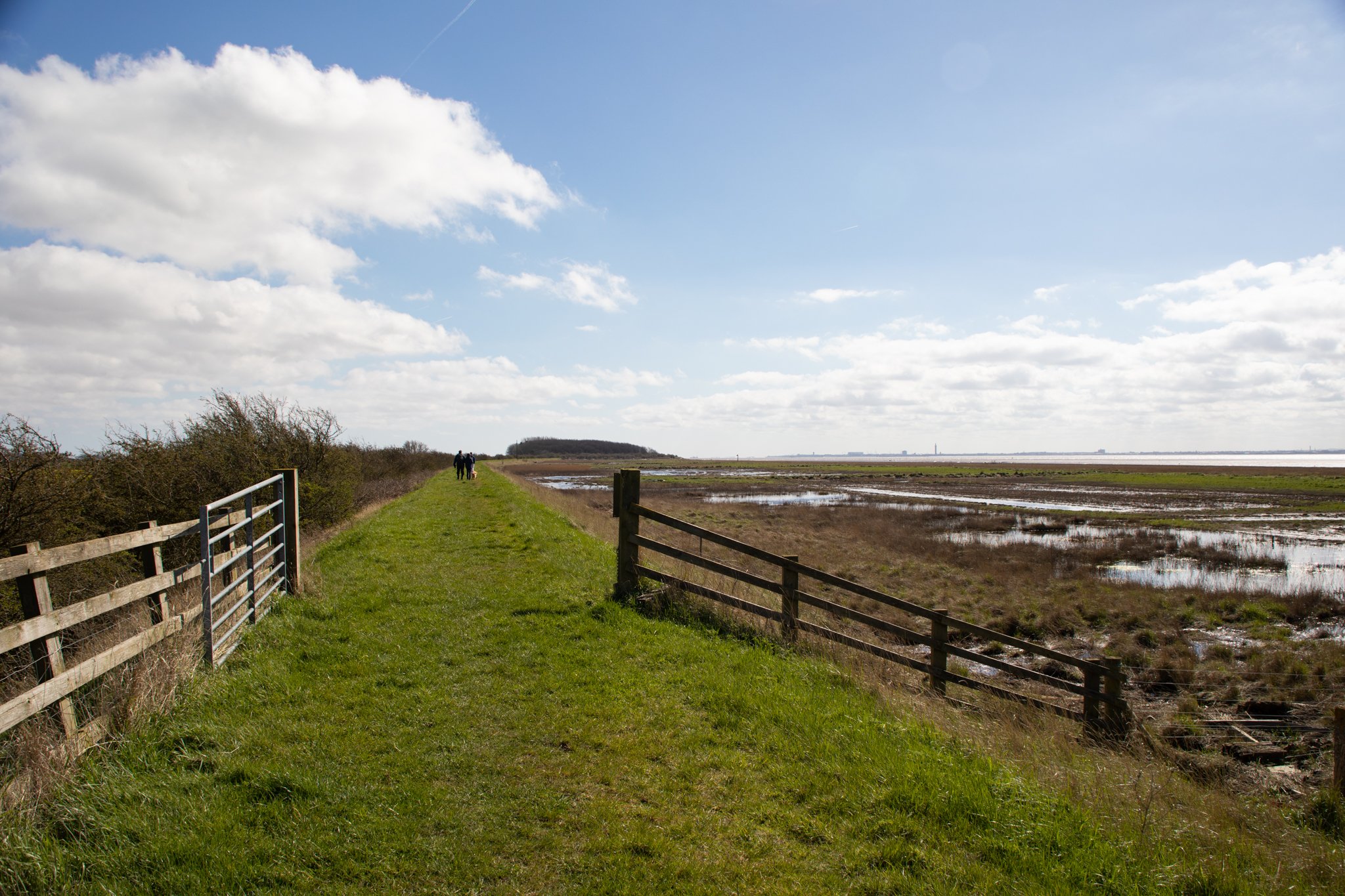
It is a there and back walk so we turn back and clamber down to walk part of the way along the shoreline. Just before we reach Stone Creek, we spot more ruins in a field - an anti-aircraft site just visible from the footpath.
I will admit that this place might not be everyone’s cup of tea but I often find myself drawn to these re-wilded post-industrial landscapes where pockets of peace, solitude and far-reaching horizons are there to savour for those who make the effort to seek them out.
Hundreds more hidden adventures like this feature in Wild Guide North East England.
Grab your copy here!